Currently, up to an inch of snow is possible, but there is some uncertainty to the strength path of the low-pressure system.
Shutterstock photo.
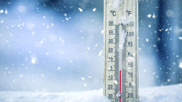
(Wilmington, Oh.) – Accumulating snow and bone chilling temperatures are in the forecast Thursday.
According to the National Weather Service, accumulating snow will be possible Thursday into Thursday night as a low-pressure system moves northeast through the Tennessee Valley.
Currently, the NWS is calling for around one inch of snow to fall in the tri-state area. Although, there is still some uncertainty regarding the strength and exact track of the system, which will affect snowfall totals.
Any type of snowfall could impact the Thursday evening commute as temperatures are expected to be below freezing with a daytime high of 25 degrees and a low of 10 degrees
For more information, visit National Weather Service.
 Halloween Events, Trick-or-Treat Times in Eagle Country
 Slide Repair Project Scheduled to Begin Next Week in Aurora
 BCEF Launches Fall "Honor a Staff Member" Sign Campaign
 GPS in Stolen Camera Leads to Arrest
 North Vernon Man Arrested Following Multiple Reports of Residential Entry
 Firefighters Offer Fall Heating Safety Tips After Minor Incident at Olean Road Home