The guide identifies amenities such as marinas, boat ramps, fuel docks, campgrounds, parks, bike trails and historical points of interests on and along the Ohio River.
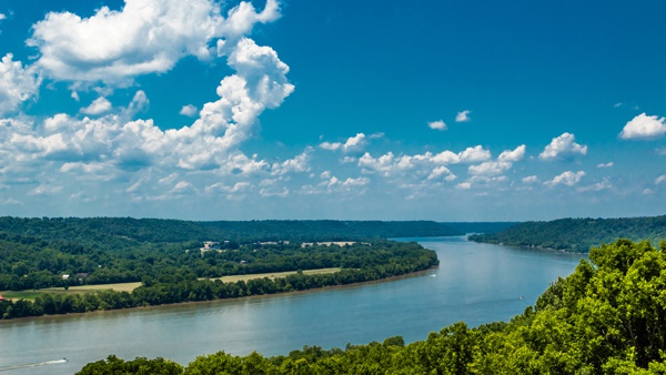
(Cincinnati, Oh.) – Big rivers are legendary for inspiring great ideas. Think Samuel Clemens and the Mississippi, made iconic through the works of the American writer known as Mark Twain.
Another big one – the Ohio – is getting credit for sparking a pretty good idea of its own: a unique interactive map to aid paddlers, boaters, cyclists, motorists and others in planning trips to explore and enjoy all this great river has to offer.
Launched June 22, The “Ohio River Recreation Digital Guide” was developed and funded through a partnership between the Ohio Kentucky Indiana Regional Council of Governments (OKI), River City Paddle Sports in Louisville and Adventure Crew in Cincinnati.
The free web-based tool is available at www.OhioRiverRecreationTrail.org. Directions on how to use the guide is located at https://www.youtube.com/watch?v=A9Km9Bc7km0.
The guide identifies amenities such as marinas, boat ramps, fuel docks, campgrounds, parks, bike trails and historical points of interests on and along the Ohio River Recreation Trail’s (ORRT) 274-mile stretch, from Portsmouth, Ohio, to West Point, Ky., just downstream from Louisville.
“The tool is meant to be a user-friendly, real-time resource and planning guide for anyone who wishes to explore the Ohio River and the communities along its shore, whether by water or land,” said David Rutter, senior planner at OKI. “A primary intention of the guide is to keep people safe.”
Built by OKI’s GIS Department, the guide contains two critical layers -- the marine highway zone and the Automated Information System (AIS). The marine highway zone identifies where commercial traffic is most likely to be found on the river, while the AIS layer identifies barges and other commercial traffic, displaying their location, direction of travel and speed.
“To the best of our knowledge, it is the only digital guide of its kind in the U.S.,” said OKI CEO Mark Policinski. “Our GIS team has applied impressive technology to build this remarkable tool. I look forward to seeing how adventurists use the guide to explore our great Ohio River.”
The guide includes links to the websites of river communities, enabling travelers to explore lodging and restaurant options, as well as special events, history and other attractions of each town.
The U.S. Coast Guard, which fully supports the guide, is impressed with the guide’s focus on river and boater safety.
"The only thing predictable about the river is its unpredictability. Anyone using the river should always be ready for the unexpected,” said Lt. Jim Brendel, supervisor of the Coast Guard’s Marine Safety Detachment in Cincinnati. “This guide helps river users address some of the unknown.”
Brewster Rhoads, co-chair of ORRT’s steering committee, admires the guide’s success in combining many features into one digital map.
“This is a ‘one-stop shop’ for anyone looking to plan an adventure along the Ohio River,” Rhoads said. “Until now, recreationists had to go to four or five different websites to get the information found in this one site. I wouldn’t be surprised if it becomes a national model for other organizations to follow.”
Rhoads, founder of the popular Paddlefest Cincinnati, believes the guide will especially benefit those people who have been hesitant, for one reason or another, to explore the Ohio River.
“The region owes OKI a big debt of gratitude for putting this tool together,” Rhoads said. “It will encourage more people to celebrate the unique beauty and culture of the Ohio River. It will also promote the use of alternative modes of travel – one of OKI’s many goals for our region. ”
Like many great ideas, the Ohio River Digital Guide began with casual conversation among friends.
“It emerged during a marathon 33-hour paddle from Cincinnati to Louisville in June of 2018,” Rutter recalled. “A crew of nine adventurers from the two cities kept themselves awake, paddling through the night with discussions of creating a trail and a guide linking the two river towns.”
From there, OKI began working with local river recreation groups to create a nine-mile long Paddlefest Digital Guide. It combined critical safety information, river data, historical and anecdotal information into one digital platform, explained Jerry Schulte, a retired naturalist, biologist and environmental scientist known for his extensive environmental research on the Ohio River.
“Having spent my career working on the Ohio River, I am still amazed at how little information is readily available to help people appreciate and understand what this river is all about,” said Schulte, media and safety coordinator for the Ohio River Recreation Trail.
Schulte added, “Expanding the Paddlefest Guide to the 274-mile long Ohio River Recreation Trail was the obvious next step.”
OKI is a council of local governments, business organizations and community groups committed to developing collaborative strategies, plans and programs to improve the quality of life and economic development potential of the Tri-State.

 Napoleon State Bank Announces Retirement of Former President, Board Member
 Indy Woman Identified as Victim of Fatal Crash on State Road 56
 New Patient Care Manager Named at Our Hospice of Jennings County
 Arrest Made in Green Township Road Rage Incident
 Ripley Co. Highway Dept. Urges Motorists to Watch Out for Mowing Crews
 Middle School Student Found with Pocket Knife Facing Disciplinary Action
